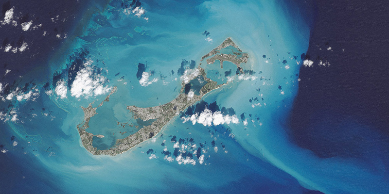
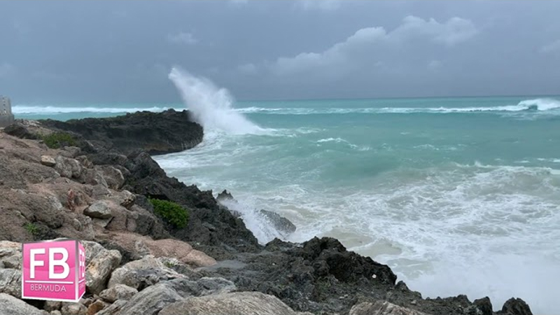
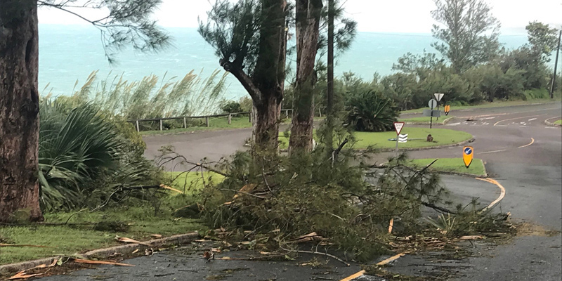
A depiction of Bermuda as seen from space is included in a new photo essay book by NASA, with the image of the island one of 69 images included in their book entitled ‘Earth.’
“Swirling clouds, deep blue oceans and textured land- and icescapes are among the many faces of our planet revealed in NASA’s new photo-essay book: Earth,” NASA said.
“This collection of 69 images captured by satellites tells a story of a 4.5-billion-year-old planet where there is always something new to see. Earth is a beautiful, awe-inspiring place, and it is the only world most of us will ever know. It is your planet.”
In describing the image of Bermuda, the book says, “In October 2014, the eye of Hurricane Gonzalo passed right over Bermuda. In the process, the potent storm stirred up the sediments in the shallow bays and lagoons around the island, spreading a huge mass of sediment across the North Atlantic Ocean. This Landsat 8 image shows the area after Gonzalo passed through.
“The suspended sediments were likely a combination of beach sand and carbonate sediments from around the shallows and reefs. Coral reefs can produce large amounts of calcium carbonate, which stays on the reef flats [where there are coralline algae that also produce carbonate] and builds up over time to form islands.
“Storm-induced export of carbonates into the deep ocean—where they mostly dissolve—is one of the ways that the oceans naturally balance the addition of atmospheric carbon dioxide to ocean waters.”
You can download the book for free in PDF, MOBI or ePub formats here.


